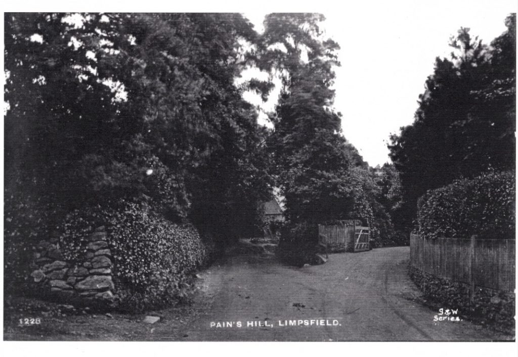
Pastens Road was constructed by the Titsey Estate in 1905, at about the same time as Ballards Lane of the Westerham Road. The new road as it was first refered to, followed the line of the farm track from the junction with Pains Hill up to the oast house, now Oast Cottage. Originally, Pains Hill was a hill on part of Grants Lane that ran from Staffhurst Wood to the crossroad at Kent Hatch Road. When, in the late 18th. century the Titsey Estate built a brickworks near the crossroad, where Links Cottage is now, that part of Grants Lane became known as Brick Kiln Lane. When a non-conformist chapel was opened on August 6th 1823, in part of the hop garden at the top of Gibbs Farm, that part of the footpath bordering the common, now the fourth fairway on Limpsfield Chart Golf course, was made into Chapel Road and the part of Grants Lane from the junction with Brick Kiln Lane re-named Pains Hill.
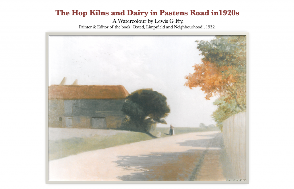
New Road had been a farm track that ran between Gibbs farmhouse and the farmyard off Grants Lane up to the twin oast house, now Oast Cottage, where a dairy operated, supplying fresh milk and dairy products to the local area. Beyond the oast were fields of pasture on the slope to the right and arable fields to the level ground to the left. Pastens road then followed the footpath and hedgerow from the oast to meet the ancient ironage trackway known as Tenchleys Lane where it reached The Chart at the top of the hill from Itchingwood Common. Pastens Cottage is near this junction at the end of Pastens Road.
The top of Pain Hill with Pastens house, built for The Watney family on the left and Essington Priors built for Canon Rigeway to the right.
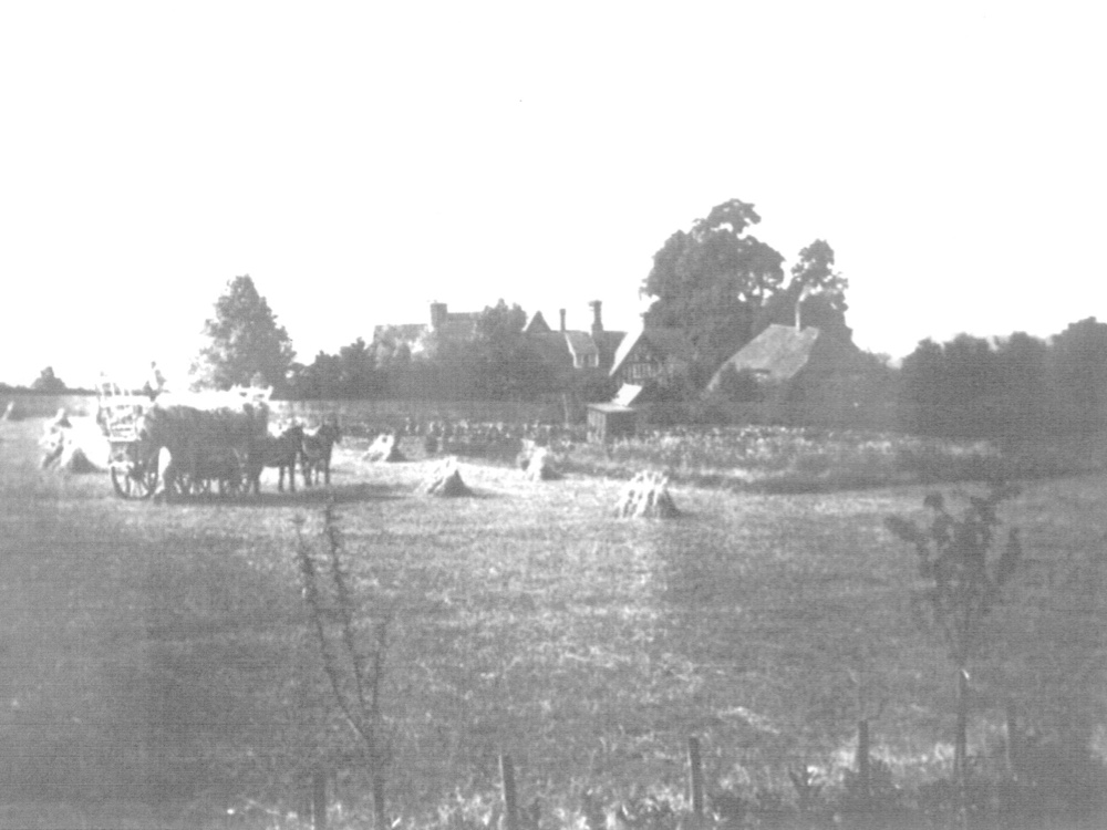
The old hop garden, now a corn field with The Weald Cottage (old Gibbs farmhouse) on the right and the Watney family house, Pastens beyond and Pastens Road running between.
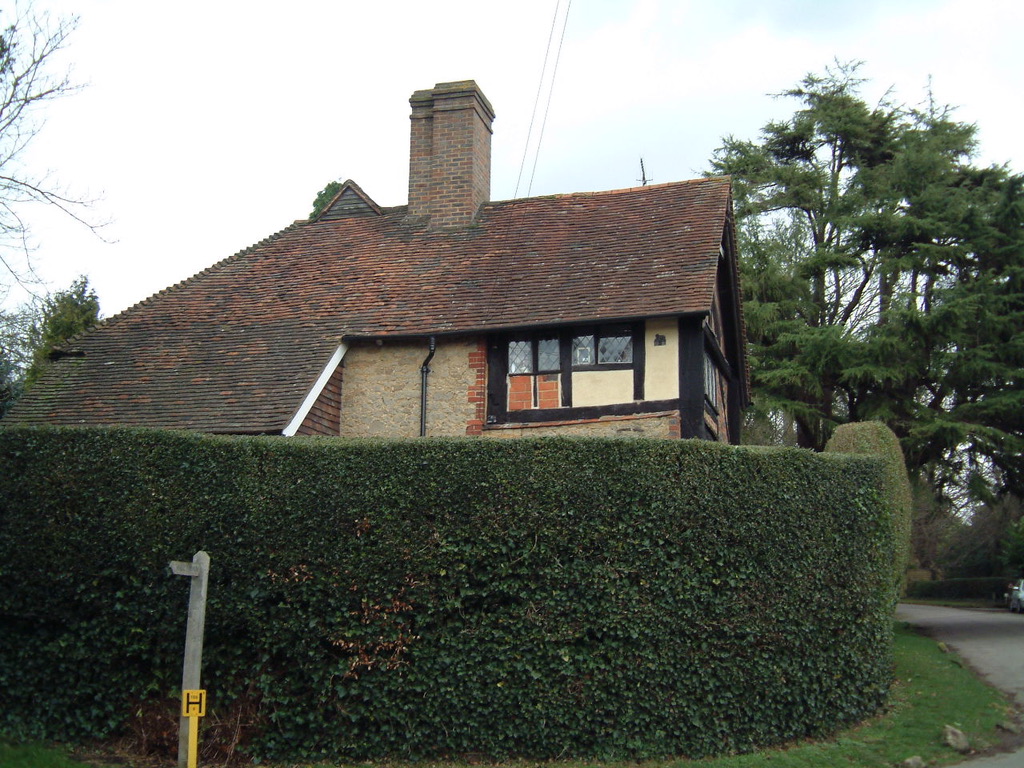
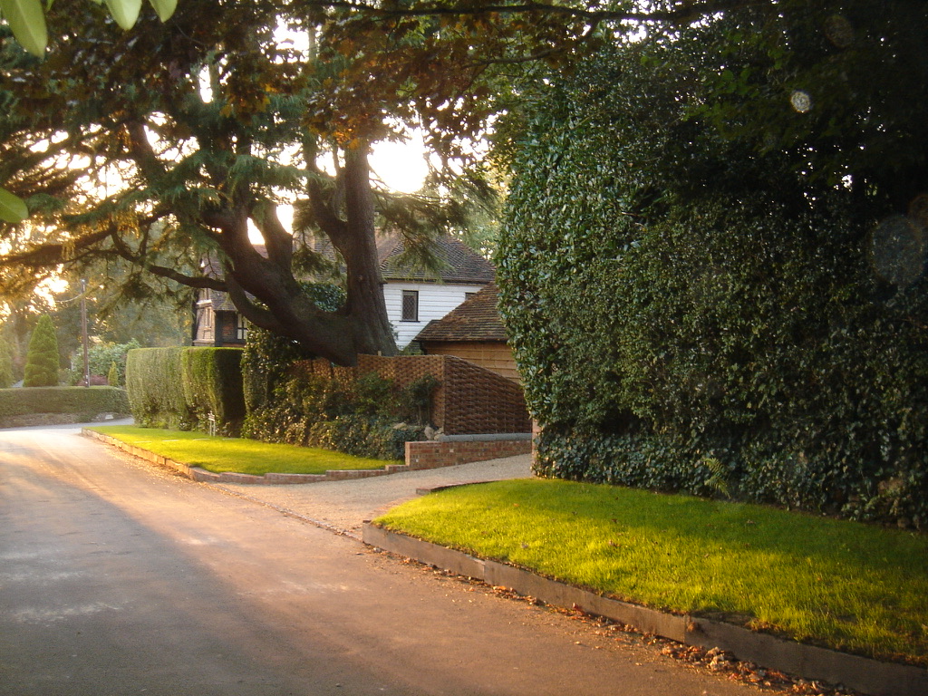
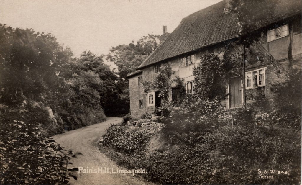
The Weald Cottage on Pains Hill and Pastens Road to the right.
The entrance to The Weald Cottage on Pastens Road leading into the courtyard.
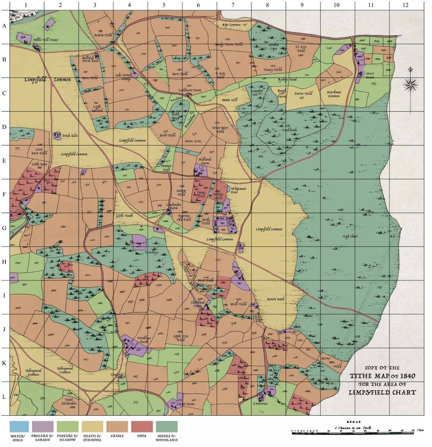
A grid map of Limpsfield Common on Limpsfield Chart.
Used to locate points of interest in the book – Limpsfield Chart in History.
The top of Pains Hill with the entrance to Essington Priors to the right and Strange Cottage down the hill.
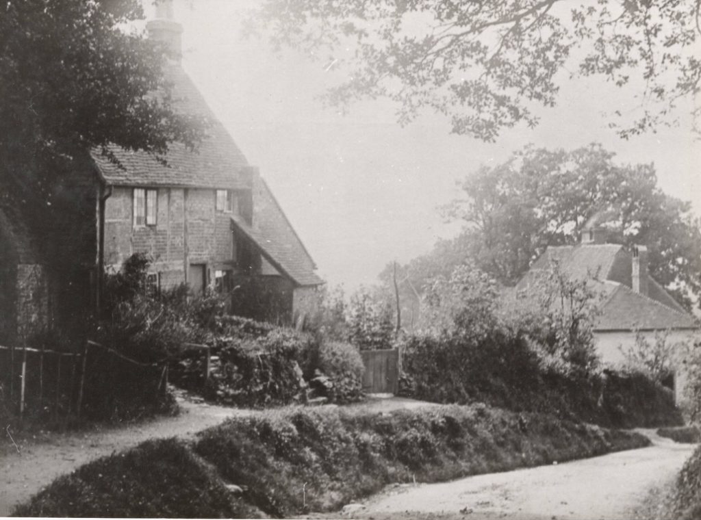
Going down Pains Hill, Strange Cottage on the left and Friar’s cottage further down the hill.
Halfway up Pains Hill with Friar’s Cottage on the right.
Looking up Pains Hill to ‘The Springs’ where water flows constantly.
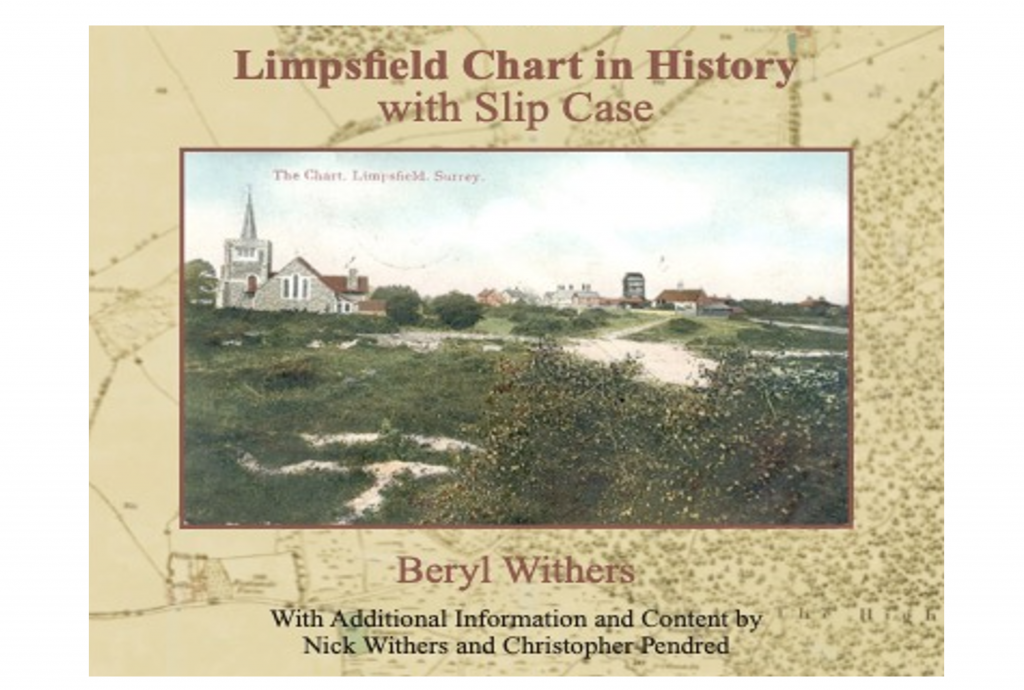
The book Limpsfield Chart in History, published by Nick Withers and Christopher Pendred in 2023. Copy available from Oxted Library.